Pukekohe’s transformation from a quiet market-gardening hub into a rapidly expanding residential and logistics centre has placed new demands on understanding what lies beneath the surface. The volcanic origins of the Franklin District, dominated by the basaltic lava flows of the South Auckland Volcanic Field, create a challenging mosaic of weathered tuff, peat lenses and basalt floaters that mechanical drilling alone cannot always delineate. For projects on the undulating terrain between the Bombay Hills and the Waikato River, we rely on electrical resistivity as a non-invasive first-look technique. When combined with targeted test pits to ground-truth geophysical anomalies, the result is a subsurface model that informs earthworks, foundation design and stormwater infiltration planning with far greater confidence than isolated borehole logs.
A resistivity contrast of just 10 ohm-m can mark the difference between stable basalt and compressible peat in Pukekohe’s volcanic landscape.
Local considerations
The Franklin District’s climate, with its heavy winter rainfall exceeding 1200 mm annually and warm, humid summers, directly governs the reliability of resistivity data. A resistivity survey conducted in late summer, when the upper two metres are desiccated and highly resistive, will produce a markedly different apparent-resistivity curve than one run in August after sustained rain has saturated the near-surface. Our team accounts for this seasonal drift by normalising data to local weather station records from Pukekohe and running repeat calibration soundings on permanent benchmarks. Ignoring moisture variation in Pukekohe can lead to misclassifying a saturated tuff layer as competent rock, a mistake that has caused costly over-excavation on several sites we have been called in to remediate.
Frequently asked questions
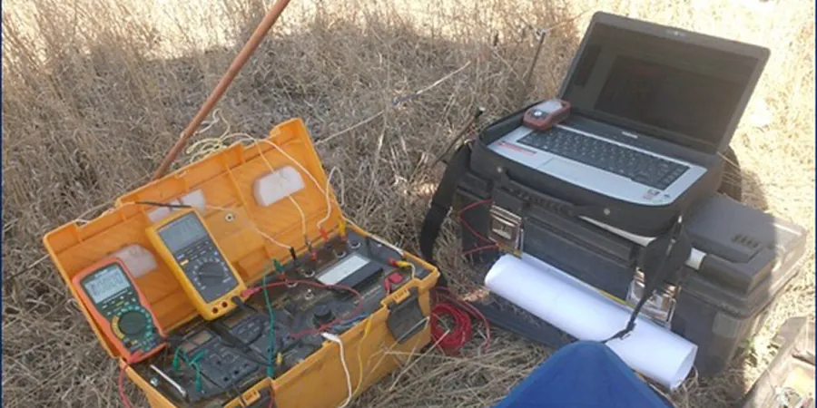
How deep can a VES survey reach in the basalt country around Pukekohe?
In practical terms, with a maximum current-electrode spread of 200 to 300 metres, we routinely achieve investigation depths of 40 to 50 metres. The actual depth of penetration is limited by the available space and the electrical noise from nearby infrastructure. Within the more built-up parts of Pukekohe township, 25 to 30 metres is a more realistic target before cultural interference degrades the signal-to-noise ratio.
What is the typical cost for an electrical resistivity survey on a residential section?
For a standard residential lot in Pukekohe requiring two VES soundings or a short ERT profile, fees generally fall between NZ$1,060 and NZ$1,790. The final figure depends on the electrode spread required, terrain accessibility, and whether we need to clear vegetation for the survey line. A formal proposal is always issued after a site walkover.
Can resistivity distinguish between weathered basalt and wet tuff?
It can, but the interpretation is rarely straightforward. Fresh, massive basalt is highly resistive (often above 150 ohm-m), while water-saturated tuff and lapilli tuff can measure below 25 ohm-m. The difficulty arises in the transition zone, where moderately weathered basalt and dry tuff can overlap in the 40–60 ohm-m range. This is why we always recommend calibrating geophysical lines with at least one borehole or test pit in Pukekohe’s mixed volcanic terrain.
How long does a resistivity survey take on site?
A standard VES sounding with four to five depth steps takes roughly 45 minutes at each station once the array is laid out. A full ERT profile covering 200 metres with multiple depth levels might occupy a crew of two technicians for a full day, including setup, data acquisition, and initial quality control. Post-processing and interpretation add another two to three working days.
Does wet weather stop you from running a resistivity survey?
Light rain does not stop us, and in fact the improved electrode coupling in moist soil often produces better data quality. Lightning and thunderstorms are a different matter, and we suspend operations immediately if electrical storms are active within the Franklin District. Heavy sustained rain that causes surface ponding can also introduce a short-circuit effect in the shallow electrodes, so we reschedule if the site is waterlogged.